PRISE delivers pest forecasts and improves farmers’ ability to mitigate the impact on their crops.
A patchwork of Open earth observation satellite data that best supplies the parameters we need over different areas and scales. A mixture of EU and US sources. The coverage is good over Ghana, Kenya and Zambia. In future we could add areas, but work would be needed to incorporate the best data sources into the patchwork.
The model is essentially a degree-day model – the satellite data tells us how much energy has fallen on the earth at a reasonably high resolution – we can tell how much energy a pest would absorb – how far through its development cycle that energy can take it – how many generations of pest appear. It’s not just insects, so fungal diseases can be similarly modelled. The rainfall data tells us when the planting season starts, and that puts down a day zero on the development of many ubiquitous pests.
CABI’s scientific expertise is in understanding the life-cycles of pests and working with our partners to represent those mathematically. Plantwise mechanisms such as plant clinics are vital pre-existing infrastructure to start the delivery of PRISE forecasts to a target audience. We plan to rapidly improve this delivery with channels that can get the messages out at scale.
Targeted users
Plant doctors – equipped them with tablets
Extension agents
Researchers
Policy makers
Village advisers
Dissemination channels
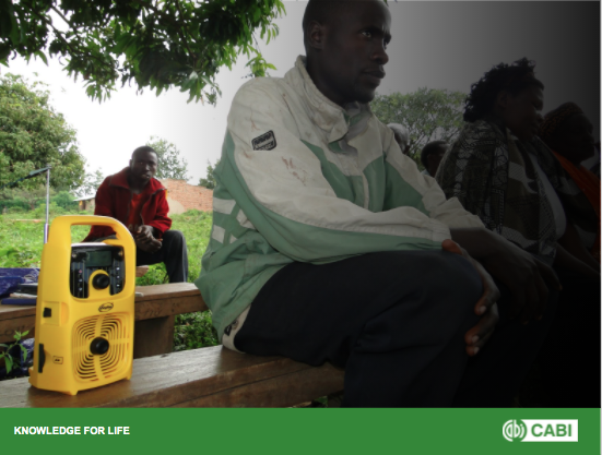
Radio including community radios
SMS
Knowledge banks-knowledge management
Social media-WhatsApp, Telegram
TV shows/Videos
Print media